As the 2021 Atlantic hurricane season (June 1 through November 30) officially gets underway, NOAA’s Climate Prediction Center is urging residents up and down the down the US eastern seaboard and in and around the Gulf of Mexico to take all necessary precaution as, once again, meteorological forecasts favor “above normal” storm activity.
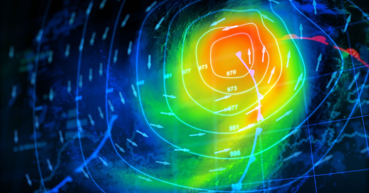
For 2021, NOAA experts predict 13 to 20 named storms (winds of 39 mph or higher), of which 6 to 10 are likely to become hurricanes (74 – 110 mph), 3 to 5 being major CAT 3, 4 or 5 events (>111 mph winds). So, given that there were 30 storms registered in 2020 (14 hurricanes, 6 major), this year’s outlook seems relatively tame, right?
Unfortunately, no. Notwithstanding the fact that these are merely predictions—provided with a 70% confidence—there are other long-term signals and variables that demand attention. One undeniable trend, which epitomizes the unpredictable danger of storm forecasting, is the uptick in cyclone intensity in recent decades. Statistics show that the number of CAT 3-5 events per season has increased from around 1.6 per year in the 1970s/80s to 3.1-3.8 per year in the 2000/10s. In short, each season brings stronger winds, heavier rain, and increasingly destructive storm surge up and down US coastlines, regardless of hurricane frequency.
UNCREWED TECHNOLOGY
In recent years, uncrewed technology has enhanced our ability to predict, monitor, and assess extreme weather patterns. Agencies like NOAA rely on an ecosystem of remotely operated marine technologies—ALAMO floats, saildrones, hurricane gliders, and drifters—engineered to harvest and process cumulative environmental data, which is consequently fed into sophisticated modeling programs like the Global Forecast System (GFS). These sea-deployed assets collect vast swaths of oceanic data that help identify macro trends and track notable events in real time. But what about the storm’s aftermath? What about the compounded impacts of extreme weather patterns on local shorelines and coastal ecosystems?
ASVs FOR REMOTE SURVEY
Much of this work is carried out by independent hydrographic survey companies contracted by local state agencies and interests. Again, uncrewed technology plays a central role. Today, Autonomous Surface Vehicles (ASVs) are the tool of choice among surveyors trying to qualify and quantify the hydrographic and topographic impacts of extreme weather, as essential instrumentation like multibeam echosounders, side scan sonar, and LiDAR can be incorporated into easy-to-use and highly transportable platforms. This autonomy-assisted approach to coastal survey is part of a broader trend for remote marine operations, whereby the deployment of intelligent marine robotics significantly streamlines the process of data collection.
At SeaRobotics, we work with a range of specialist marine survey providers looking to take advantage of the latest plug-and-play ASV systems. Their demands are clear: optimized efficiency and accuracy. In plain speak, that equates to minimalizing the need for topside support (reducing operational overheads and vessel set-up time) and maximizing data quality (eliminating the margin of human error).
CRITICAL TIMING
Timing is also paramount when assessing the immediate impacts of the seasons on a marine environment that is, by nature, already in a state of constant change. The speed at which data can be processed and analyzed (and ultimately acted on) is essential to definitive onshore/offshore coastal profiling pre-, during and post-hurricane. To this end, the straightforward deployment of compact ASVs, like our SR-Surveyor M1.8, allows operators to interpret data “on the job” from a shore-based command or small workboat.
The SR-Surveyor M1.8 is outfitted with an EdgeTech 2205 wide swath bathymetry and side scan sonar, M-9 ADCP, along with a Velodyne LiDAR for mapping terrestrial features above the water surface, offering a 360-degree view of all data points. The 1.8-meter catamaran hull supports a fully integrated sensor suite that delivers seven data sets simultaneously: two frequencies of side scan, motion tolerant side scan, wide swath bathymetry, backscatter, LiDAR point cloud data, and discharge data.
The SR-Surveyor M1.8 is a field proven, highly portable asset for uncrewed hydrographic survey. Launched in 2019, one of our units was instrumental in the survey of the catastrophic damage caused by Hurricane Dorian, a CAT 5 event devastated The Bahamas in September 2019. The ASV’s ability to navigate hard to access and hazardous waters proved essential to the search and recovery efforts. Updated for 2021, multiple SR-Surveyor M1.8s are currently in the field and being used for a range of coastal and offshore applications, including bathymetric/habitat mapping for offshore energy development, coastal structural inspection, DOT surveys, and search and rescue operations.
Find out more about the SR-Surveyor M1.8 and the other models in our Surveyor Class of ASVs.